Maps & Trails
Utah has no shortage of places to enjoy your off-road adventures — it’s just a matter of knowing where to go. These maps will guide you to trails all over the state so you can begin your latest OHV or snowmobile adventure.
Interactive Maps
Maps From Other Agencies
- Bureau of Land Management
- The U.S. Forest Service
- Utah School and Institutional Trust Lands Administration
- Utah Public Lands and Policy Coordinating Office
Off-Highway-Vehicle (OHV) Maps
- Amasa
- Arapeen OHV Trails
- Black Mountain OHV Trails
- Burbank Hills
- Casto Canyon / Limekiln Loop OHV Trails
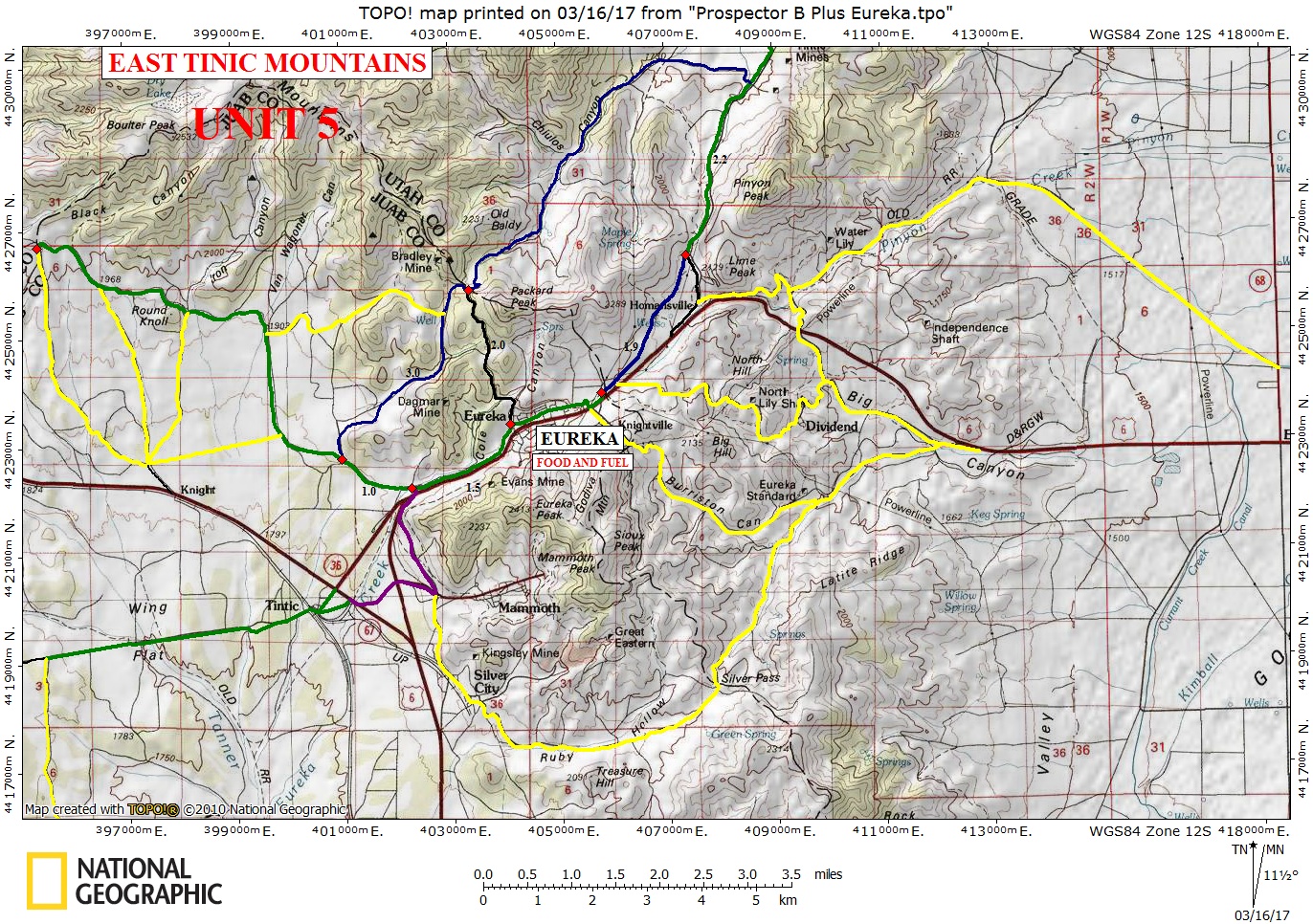
- Chief Tintic
- Conger Mountain
- Cricket Mountains
- Dove Creek / Raft River OHV Trails
- Emery County OHV Trails
- Forshea/Table Mountain OHV Trails
- Garfield County Regions 1&2
- Garfield County Regions 3&4
- Gemini Bridges
- Green River/Ten Mile OHV Trails (Orange Trail)
- Grouse Creek OHV Trails
- Haycock Mountain / Black Rock OHV Trails
- Henry Mountain North
- Hook and Ladder
- Indian Peak OHV Trails
- Kanab Area OHV Trails
- Labyrinth Rims
- Lake Canyon
- LaSal Pass OHV Trails
- Little Valley / Cottonwood Canyon OHV Trails
- Markagunt Trail
- Mill Canyon OHV Trail-Wasatch Mountain
- Mill Canyon OHV Trail-Moab
- Mineral Mountains South OHV Trails
- Mountain Home Mountains OHV Trails
- Mt Carmel Junction OHV Trails
- Outlaw Trail
- Paiute OHV Trail Map (Fee Charged)
- Panguitch Loop OHV Trail
- Parowan Gap Trail
- Sanpete County Trail Maps
- Strawberry OHV System
- Strawberry Peak OHV Trails
- Shoshone Trail System
- Utah Rims
- Wah Wah Mountains OHV Trails
- Washington County OHV Trails
- Wayne County ATV Trails
- Yellowstone OHV Trail System
- Yuba OHV Trails
Snowmobile Maps:
Hardware Ranch/Monte Cristo/Logan Canyon
Wasatch Mountain State Park
Mirror Lake/Mill Hollow/North Slope
Uintah Basin
Scofield/Skyline Drive/Joe’s Valley/Ferron
Ephraim/Manti/Mt. Nebo
Fish Lake
Cedar Mountain/East Fork
Strawberry
Maps & Trails
Utah has no shortage of places to enjoy your off-road adventures — it’s just a matter of knowing where to go. These maps will guide you to trails all over the state so you can begin your latest OHV or snowmobile adventure.
Interactive Maps
Maps From Other Agencies
- Bureau of Land Management
- The U.S. Forest Service
- Utah School and Institutional Trust Lands Administration
- Utah Public Lands and Policy Coordinating Office
Off-Highway-Vehicle (OHV) Maps
- Amasa
- Arapeen OHV Trails
- Black Mountain OHV Trails
- Burbank Hills
- Casto Canyon / Limekiln Loop OHV Trails
- Chief Tintic
- Conger Mountain
- Cricket Mountains
- Dove Creek / Raft River OHV Trails
- Emery County OHV Trails
- Forshea/Table Mountain OHV Trails
- Garfield County Regions 1&2
- Garfield County Regions 3&4
- Gemini Bridges
- Green River/Ten Mile OHV Trails (Orange Trail)
- Grouse Creek OHV Trails
- Haycock Mountain / Black Rock OHV Trails
- Henry Mountain North
- Hook and Ladder
- Indian Peak OHV Trails
- Kanab Area OHV Trails
- Labyrinth Rims
- Lake Canyon
- LaSal Pass OHV Trails
- Little Valley / Cottonwood Canyon OHV Trails
- Markagunt Trail
- Mill Canyon OHV Trail-Wasatch Mountain
- Mill Canyon OHV Trail-Moab
- Mineral Mountains South OHV Trails
- Mountain Home Mountains OHV Trails
- Mt Carmel Junction OHV Trails
- Outlaw Trail
- Paiute OHV Trail Map (Fee Charged)
- Panguitch Loop OHV Trail
- Parowan Gap Trail
- Sanpete County Trail Maps
- Strawberry OHV System
- Strawberry Peak OHV Trails
- Shoshone Trail System
- Utah Rims
- Wah Wah Mountains OHV Trails
- Washington County OHV Trails
- Wayne County ATV Trails
- Yellowstone OHV Trail System
- Yuba OHV Trails